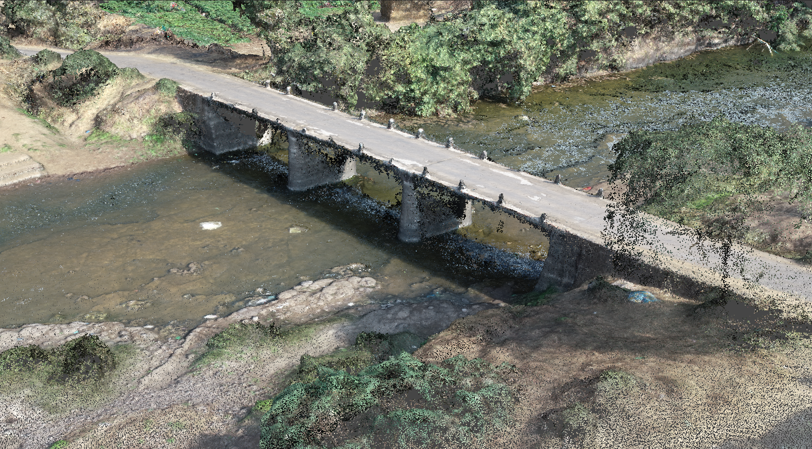
Earth Observation
High Resolution Imaging | Accurate Elevation and Terrain Modelling | Contour Mapping and Waterflow Analysis | UAV Services
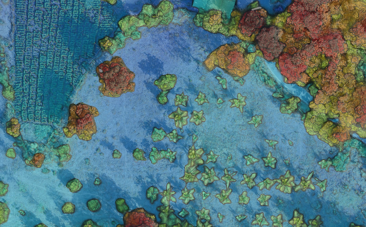
Ecosystem
Agriculture and Irrigation | Environmental Assessment | Ecosystem Modelling
Construction
Transportation Planning | Water Resource Planning | Disaster Management | Structural Survey